How to Prepare for King Tide Season in Washington State
(TNS) – The U.S. Coast Guard (USCG) and National Weather Service warned Pacific Northwest residents on Nov. 24 that king tides and “sneaker waves,” season has arrived.
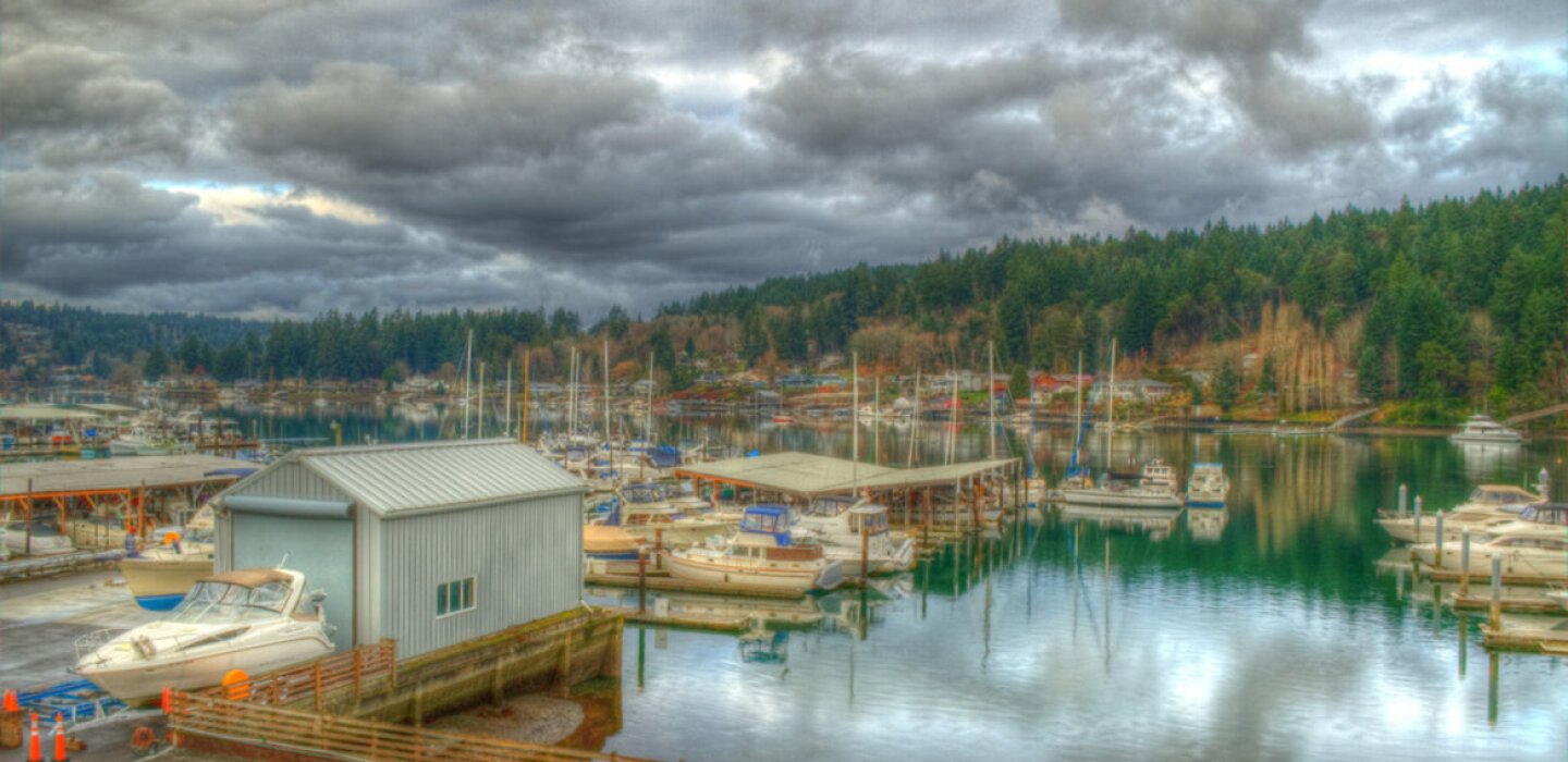
A king tide is an especially high tide that brings unusually high water levels and can cause local tidal flooding. Last year, areas west of the Narrows experienced abnormal king tides that flooded local parks and businesses near Gig Harbor and Purdy.
Reid Wolcott is the warning coordination meteorologist with the National Weather Service in Seattle.
Wolcott told the Gateway Monday that king tides are common from November through February in Washington. During that time minor flood activity is normal, he said.
But last year’s king tide on Dec. 27, 2022 was an anomaly that typically only occurs once every decade, Wolcott said.
“It’s been many years since we’ve seen anything quite like that,” he said. “It was kind of a perfect storm. We had the king tide cycle plus an extreme low pressure system that moved over the region right at the peak of that.”
Wolcott said that combination with a little bit of wind and rain led to the intense king tide flooding we saw last year.
Although it’s not impossible another extreme king tide could hit, Wolcott said it’s unlikely this year.
“Coastal flooding occurs when low banks experience high tides,” according to Pierce County’s coastal flooding webpage. “Most of Pierce County’s coast is high bank and not at risk of flooding. But the few areas with low banks can experience coastal flooding from high tides, king tides and wind-driven waves.”
Low bank areas in Pierce County include areas near the Purdy Bridge and the Vaughn Bay Spit, according to the flooding page.
The USCG warning said king tides and sneaker waves should be expected until the end of winter season.
Sneaker waves rise up the beach quickly and are the deadliest natural hazard on the West Coast, according to the USCG announcement.
“They are characterized by insignificant heights within period groups of small waves, giving the appearance of light sea conditions,” the announcement said. “The sudden rush of water will immerse the dry shore and send large logs rolling, becoming dangerous projectiles.”
It’s easy for these waves to catch people off guard, knock them off their feet and sweep them into the ocean, according to the National Weather Service.
The USCG and the NWS urged beachgoers to take the following measures during king tides and sneaker waves:
— Review notifications put out by the National Weather Service (NWS) offices that cover the Pacific Northwest coastline and issue beach hazard statements.
— Be aware, sneaker waves can occur outside of times outlined by the NWS.
— Familiarize yourself with the area: where all beach exits are and the location of any logs or debris.
— Remain further away from the waterline than you think is necessary. Sneaker waves can run up by at least one half-length of a football field.
— Refrain from walking near or playing on any logs onshore, which can become projectiles from powerful waves.
— Remain vigilant for the duration of your visit.
— Never turn your back on the ocean.
©2023 The Peninsula Gateway (Gig Harbor, Wash.) Distributed by Tribune Content Agency, LLC.


Average Rating