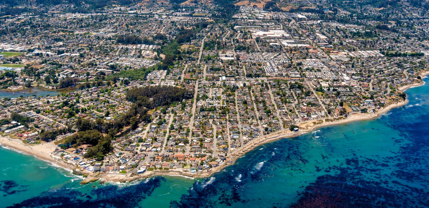
Santa Cruz, Calif., Map Shows Water Levels Throughout State
(TNS) – After the recent one-two punch of last week’s atmospheric river and Sunday’s bomb cyclone, North Bay residents who may be wondering how much water is running through their neighborhood creeks now have a new tool at their disposal.
A real-time map, created by the County of Santa Cruz, shows water levels in every creek and river in the state, allowing locals to track local flood risks with up-to-the-minute data.
In a Facebook video posted Feb. 3, the County of Santa Cruz calls the map a web tool that allows users to see current river levels as well as water-level forecasts. The map is part of the county’s “Situational Awareness For Emergency Response” program, or SAFER SC.
The map uses data from the U.S. Geological Survey and National Oceanic and Atmospheric Administration.
By clicking on the map’s blue icons, users can see the status of that river or creek, including the water height and time of last update. The icons will also alert users if it is currently in a flood stage and show a graph displaying water levels for the past several days.
The Press Democrat also has several real-time, interactive maps and graphs to track weather and water levels in the region.
___
©2024 The Press Democrat (Santa Rosa, Calif.) Distributed by Tribune Content Agency, LLC.
Related
More Stories
Train Derailment Spills 660 Gallons of Diesel in Washington
(TNS) — About 660 gallons of diesel fuel spilled near the Columbia River south of Wallula after a Union Pacific...
California Police Chief Talks Technology, Community Trust
(TNS) — Newly sworn-in Woodland Police Department Chief Ryan Kinnan sat down with one of his fellow officers in a...
Grant Extends Broadband to Parks for Emergency Communication
(TNS) — On July 31, volunteers with Loveland Open Land and Trails at the Viestenz-Smith Mountain Park spotted smoke and...
Louisiana Signs $3M Deal for High-Tech Investigations
(TNS) — Louisiana Attorney General Liz Murrill's office has signed a multi-million-dollar deal with a security consulting firm that aims...
Another Potential Hurricane Headed Toward Gulf of Mexico
(TNS) — A growing system in the Caribbean could develop into Tropical Storm Rafael on Monday and intensify into a...
Baltimore Put $61M in COVID Funds Toward Public Safety
(TNS) — Over the past 3 1/2 years, Baltimore has had millions of extra dollars to spend on public safety,...


Average Rating