Is Northern Michigan a ‘Sweet Spot’ for a Bomb Cyclone?
(TNS) – Forecasters say the impending Christmas weekend storm could be a “historic blizzard.”
If nothing else, the weather event, dubbed Winter Storm Elliot, is fairly well “locked in as a major winter storm,” said Andrew Sullivan, meteorologist with the National Weather Service in Gaylord. Other meteorologists nationwide say conditions could escalate into what’s known as a “bomb cyclone,” a stormfront with a rapidly falling low pressure area at its center.
Sullivan said it could be the type of event that only happens once or twice in a lifetime.
“Something this big and impactful and widespread doesn’t come along very often,” he said. “So it’s something to take seriously, for sure.”
The storm should affect much of the nation, and cover the entire Great Lakes region. But northern Michigan , in particular, should be “in the sweet spot for the worst of it” early Friday through Sunday, Sullivan said.
The storm is the result of a “chunk of arctic air” coming in through the Great Plains and into the Ohio Valley region. There, it will clash with warmer air from the south, Sullivan said.
“That battle zone between the two is where the storm is really going to intensify,” he said.
Lake effect factors also will contribute further to the storm severity in Michigan , he added.
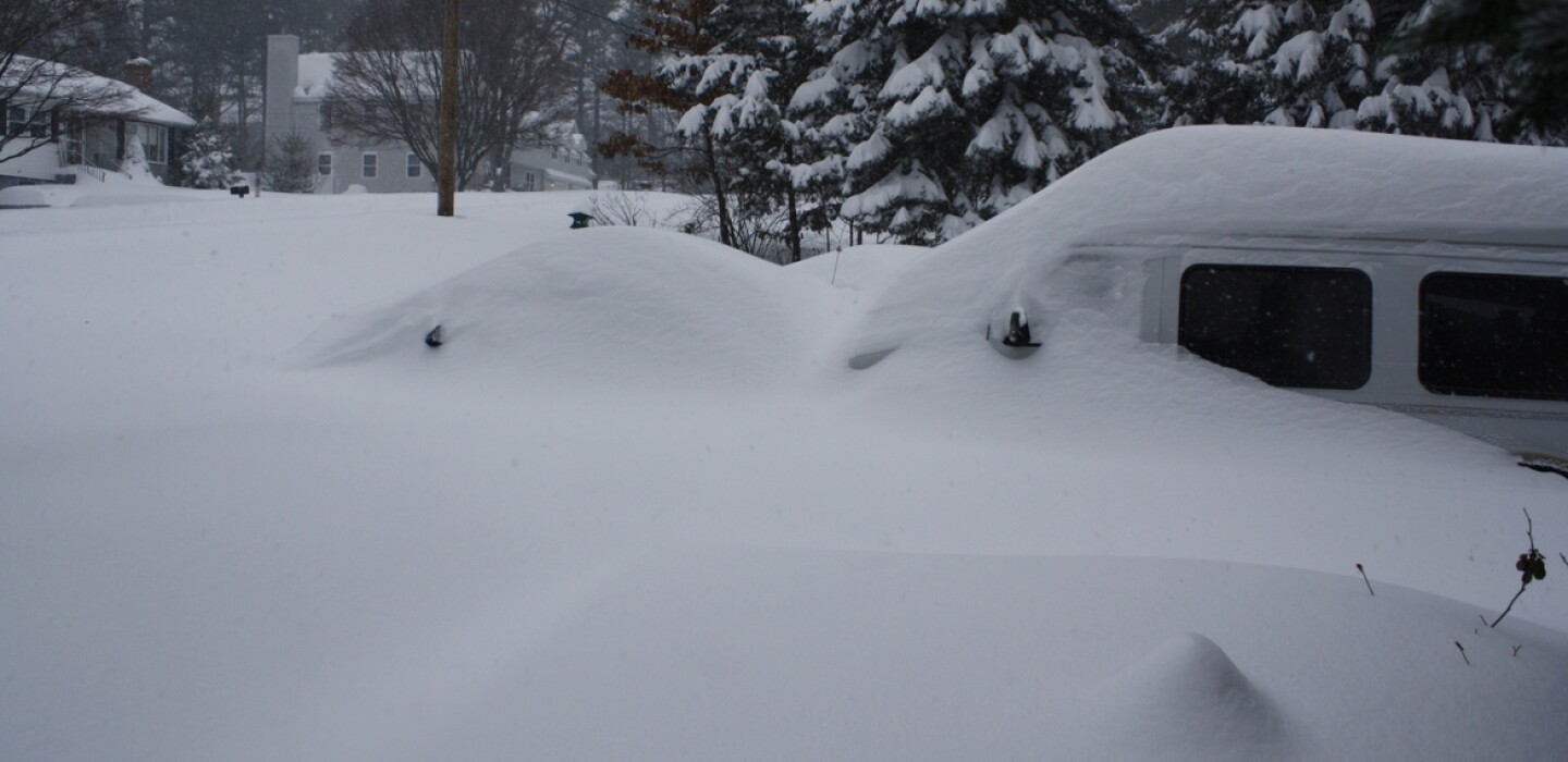
That means whiteouts, strong winds and possible blizzard conditions, with 1 to 2 feet of snow accumulation.
The weather service defines a “blizzard” as a weather event with a minimum of 35-knot winds for three hours or more, along with visibility of a quarter mile or less.
Winds are estimated to reach 45 to 55 mph and could be as high as 60 mph in some places.
Before then, some light snow also is likely to occur Thursday afternoon and pick up throughout the evening, possibly bringing a few inches of accumulation.
The timing, right before the holiday, could create complications on multiple fronts, potentially affecting holiday preparations and travel plans, as well as emergency preparedness and response. Outages also are expected to occur.
” Consumers Energy customers should know we are all-hands-on-deck preparing for this storm,” said Garrick Rochow, president and CEO of Consumers Energy , in a press release. “Crews are preparing trucks and essential materials right now to assist with any restoration efforts.”
Like many workplaces, the Grand Traverse County Road Commission offices will be closed in the days surrounding the weekend, but the agency already has its fleet of snowplows on deck to clear the roads as the snow comes down, said Brad Kluczynski, road commission manager. And the staff also will be in “very close” communication with the Grand Traverse County Sheriff’s Department and 911 dispatch as issues come up.
“We have all of our drivers set to have shifts for 24-hour coverage as needed,” he said. “We will have people working 12-hour-plus days until the snow is cleared up, if it’s as bad as they say it could be.”
Kluczynski also said that means their drivers — many of whom have children — will miss out on Christmas with their families.
“So one thing I would ask is … be kind to the drivers who are forced to work so you can get to your family obligations,” he said.
During the worst of the weather, Friday and Saturday, motorists are advised to keep off the roads, if possible, Sullivan said.
“I know everyone wants to get to their families and everything else, but it’s gonna be difficult to impossible Friday and Saturday,” he said. “It can be dangerous.”
Drivers should give road crews a wide berth. In cases of whiteout conditions, motorists should get off the road altogether and get a safe distance away from any thoroughfare. Pull into a parking lot or subdivision if possible, Kluczynski advised.
Those who do venture out should bring supplies, including warm clothes, food and blankets, in case they get stranded. Those staying home also should stock up on necessities, particularly in the case of power outages, Sullivan said.
Some communities are preparing with partners like Salvation Army and the Red Cross to provide emergency shelters if the need arises.
“We are ready to go if there is a medical emergency or to assist those that may need to get to a shelter,” said Lt. Jeremy Runstrom, director of the Cheboygan County Office of Emergency Management, in a press release.
It’s hard to know what the following week, between Christmas and New Year’s Day , will bring, but Sullivan said it should warm up slightly, with milder air coming in. But, that also could make for slippery roads on return trips from the holidays, assuming some of the snow melts and partially refreezes throughout the week.
“(The weather is) still going to be somewhat windy on Sunday (Christmas) , with lingering lake effect snow,” Sullivan said. “So it’s going to go for quite a while, but the worst of it should pretty much slow down by early Sunday.”
Report for America corps member and data journalist William T. Perkins’ reporting is made possible by a partnership between the Record-Eagle and Report for America, a journalism project founded by nonprofit Ground Truth Project . Generous support helps fund a local share of the Record-Eagle/RFA partnership. To support RFA reporters in TC, go to www.record-eagle.com/rfa.
___
©2022 The Record-Eagle (Traverse City, Mich.)
Distributed by Tribune Content Agency, LLC.


Average Rating