Hurricane Lee Is Slowing, but Margo Is Gaining Strength
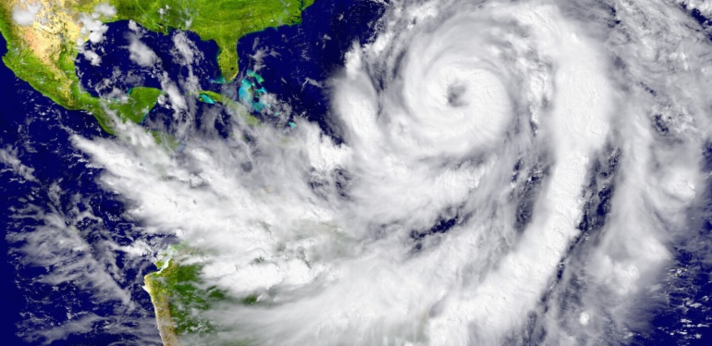
(TNS) – Hurricane Lee, now a Category 3 storm with 115 mph sustained winds, is expected to make a sharp turn north in the next few days, the National Hurricane Center said.
The National Hurricane Center said it may begin issuing advisories for Bermuda later Tuesday as Lee begins to slowly move closer. It is expected to trek west of the island this week.
Hurricane Margot formed Monday in the central Atlantic. Margot is expected to kick up to a Category 2 hurricane with potential top winds of 100 mph in the coming days.
Farther east, two tropical waves near Africa are expected to merge in the next few days as they move toward the central tropical Atlantic.
Lee is still forecast to turn north in the next few days, paralleling the U.S. East Coast, but well offshore.
The hurricane center’s prediction extends through Saturday afternoon, at which time the storm will be slightly less powerful, but still a hurricane, traveling off the coast of Massachusetts.
The cone indicating the possible path of the eye of the storm now includes eastern New England. The hurricane center expects Lee to be offshore of the mid-Atlantic states and New England Friday and Saturday.
As of 5 a.m. Tuesday, Lee was about 575 miles south of Bermuda, moving west-northwest at 7 mph and maintaining top wind speeds of 115 mph, according to the National Hurricane Center. Lee’s hurricane-strength winds extend up to 80 miles from its center with tropical-storm-force winds up to 185 miles out.
Lee had been a Category 1 hurricane with maximum sustained winds of 80 mph early Thursday.
But by late that night, its top wind speed had spiked to 160 mph, making it a colossus Category 5 storm. By early Friday, Lee’s maximum sustained winds intensified to 165 mph before declining.
The hurricane center warned of “hazardous surf and rip currents” at beaches across the Bahamas and the east coast of the U.S. all week.
The weather service added that South Florida beaches will experience “deteriorating beach and boating conditions” by the middle of this week with a likely risk of deadly rip currents.
As Lee gradually builds swells during the week, there could be some minor beach erosion from rough surf pounding against shore at high tide.
Lee is expected to move over cooler sea temperatures after Hurricane Idalia and Hurricane Franklin later in the week. That, along with wind shear and dry air, is expected to weaken Lee steadily late this week and throughout the weekend, forecasters said.
The National Hurricane Center warned that although they expect the storm’s wind speed to weaken slightly, Lee will grow in size significantly, extending hazards well away from the center of the storm by the end of the forecast period.
Lee is the fourth Atlantic hurricane of the 2023 season, behind Don, Franklin and Idalia, and the third major hurricane, meaning Category 3 or above. Franklin and Idalia were major hurricanes.
A strengthening Hurricane Margot was at Category 1 early Tuesday, with maximum sustained winds of 85 mph. It is forecast to turn north or northwest and is not currently a threat to South Florida. The latest advisory indicates Margot could begin to weaken on Thursday.
Hurricane-force winds extend outward up to 25 miles from Margot’s center and tropical-storm-force winds extend outward up to 140 miles.
Forecasters also are watching two disturbances in the far eastern Atlantic Ocean that are forecast to merge later this week, potentially developing into a tropical depression as the systems move across the central tropical Atlantic.
The season officially runs through Nov. 30. The next named storm will be Nigel.
____
©2023 South Florida Sun Sentinel. Visit at sun-sentinel.com. Distributed by Tribune Content Agency, LLC.


Average Rating