Hurricane Otis’ Power Now a Common Nightmare Scenario
(TNS) – Hurricane Otis’s burst of strength as it bore down on the Mexican resort city of Acapulco was so extreme that forecasters called it a nightmare scenario — one that’s becoming all too common.
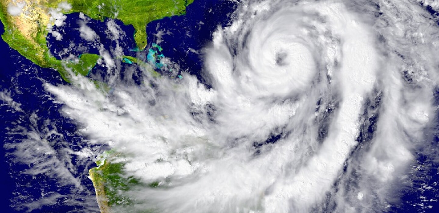
Otis’s top winds rose from 50 miles per hour early Tuesday to 165 mph by 11 p.m. local time. That surge of power, known as rapid intensification, is particularly dangerous because it can take emergency managers by surprise and prevent timely evacuations.
Otis is the latest in a series of weather disasters, from hurricanes to flooding, fueled by the hottest oceans on record. Global sea surface temperatures in June were the highest in 174 years of data, with the emergence of the El Niño weather pattern piling onto the long-term trend as the planet warms.
The National Hurricane Center’s Eric Blake, who wrote the advisory that dubbed Otis’s escalation a nightmare scenario, said he didn’t use the term lightly. It was warranted, he said on X, because Otis was barreling toward a major city as Category 5 hurricane — the strongest on the five-step Saffir-Simpson scale — after intensifying from a tropical storm in less than 24 hours.
It was an explosion in power that took forecasters by surprise and baffled computer forecast models.
“Rapid intensification is still extremely challenging to forecast,” said Phil Klotzbach, a hurricane researcher at Colorado State University. “While Otis was in a conducive environment for strengthening, predicting that kind of intensification remains quite difficult. None of the model guidance was anywhere close.”
Otis is the strongest hurricane ever to make landfall in Mexico, although formal records for the eastern Pacific only extend back to around 1950, said Ryan Truchelut, a meteorologist and owner of commercial forecaster WeatherTiger LLC.
___
©2023 Bloomberg L.P. Visit bloomberg.com. Distributed by Tribune Content Agency, LLC.


Average Rating