Annual West Coast ShakeAlert Test Hits Loma Prieta Anniversary
(TNS) — On Oct. 17, at 10:17 a.m., some phones in California buzzed with an earthquake warning.
Many others were puzzlingly silent, however — with no immediate clarification as to why, though scientists encourage people to make sure their settings are optimized for the warnings.
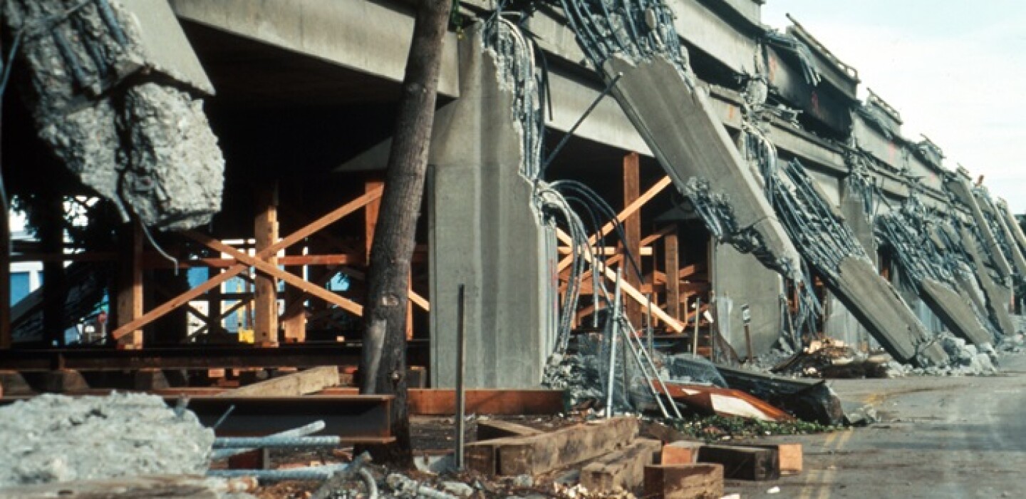
It was the annual test of the West Coast’s ShakeAlert system — one that comes 35 years to the day after the 6.9-magnitude Loma Prieta earthquake caused devastation across the Bay Area and Santa Cruz.
Much has changed across the decades. Although earthquakes still cannot be predicted, people can now get wireless alerts seconds before a quake strikes — enough time for BART trains to slow and people to drop, cover and hold. And the system keeps improving all the time.
The United States Geological Survey has calculated that if the ShakeAlert system had been operating 35 years ago, BART trains would have had at least 20 seconds to slow down before the worst of the shaking. Residents of San Francisco’s Marina District, which saw extensive damage, would have received at least 15 seconds of warning. However, people in the Santa Cruz or San Jose area, much closer to the epicenter, would have felt the shaking before the warning had time to reach them.
Beyond hypotheticals, the ShakeAlert system has recently been getting some exercise. As of Sept. 12, California had experienced some 14 earthquakes this year of magnitude 4 or above — well above the average of eight by that date, according to Robert de Groot who works with the ShakeAlert team at USGS. Many of them occurred in Southern California.
Alerts sent via the MyShake app go out when the quake is estimated at 4.5 magnitude or larger. De Groot said he got an alert about three seconds before he felt shaking from the Malibu earthquake on Sept. 12.
“There’s nothing like doing something in real time,” de Groot said, noting that several of his devices went off.
The alert system, he noted, is perpetually “in a state of improvement.”
This summer, the geological survey announced the integration of GPS sensors into its network. They supplement the traditional seismic sensors and allow for instant measurements of how much the ground moves up and down and laterally, in addition to the speed of the shaking. That helps with warnings about large earthquakes.
By the end of next year, the geological survey expects to have 1,675 seismometers and ultimately over 2,000 measuring stations, including GPS stations, across California, Oregon and Washington.
For now, when the earthquake warning system buzzes on Thursday, Oct. 17, de Groot recommends practicing as if it’s a real quake to get your reflexes trained.
“We want people to react right away” in a real quake, he said. “It’s a little like tying your shoe — you don’t think about every single step, you just do it.”
(c)2024 the San Francisco Chronicle Visit the San Francisco Chronicle at www.sfchronicle.com Distributed by Tribune Content Agency, LLC.


Average Rating