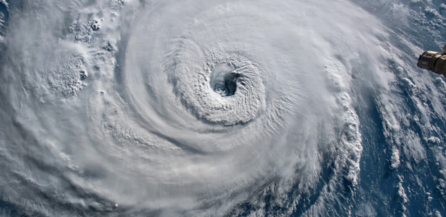
Hurricane Milton Weather Model Proved to Be Highly Accurate
(TNS) — As meteorologists we always like to go back and see how a particular weather model forecasted a storm versus what actually was observed. Here’s a high-tech look at a model trying to outguess Hurricane Milton.
We meteorologists use numerous weather models. Our model of choice can be different with different parts of the country or different types of weather, like hurricanes. One model that is usually up in the favorites for a short-term storm forecast is the High Resolution Rapid Refresh Model (HRRR).
The data team at precip.ai did a comparison of the HRRR Model’s rain and wind forecast and the actual observations of the rain and wind after Hurricane Milton was over.
While the model wasn’t spot on exact with the areas of high rain and wind, it did give a very accurate depiction of the high-end weather event. This is one of the greatest improvements in the weather models over the years. The models are now able to forecast historic, potentially deadly weather events a few days in advance.
Let’s start with the amount of total rain that actually fell during Hurricane Milton. Precip.ai used a method from an accurate past weather database to develop the total rainfall. They added all of the 1.5 mile by 1.5 mile squares of total rain and found Hurricane Milton dropped 2.6 trillion gallons of water over Florida. To put this in perspective, one inch of water on Lakes Michigan and Huron is 800 billion gallons of water. The rain from Hurricane Milton would have raised the water level of Lakes Michigan and Huron over three inches. That’s a staggering amount of water.
Was this historically heavy rain forecasted by one of our best high resolution weather models? It was, and quite accurately but not exactly. Precip.ai gives us another neat graphical comparison. In the image below slide the bar to the right and that shows how much and where the model forecasted Milton‘s rain. Slide the bar to the left and you’ll see how much and where the actual rain fell.
You see a slight shift south in where the model had the heaviest rain versus where the heaviest actually fell, but it‘s very close. The model had the heaviest rain in a gray color at 15 inches. This was about right on with the observed heaviest rainfall. The heaviest rains officially tallied were over 18 inches around St. Petersburg, Fla. The model didn’t have the top end rains in central Florida, so it was a few inches off there.
As a meteorologist I always figure when we get to some certain high amount on rain it doesn’t matter if it’s a few inches over that high forecast amount. It does in reality do more damage. If you are ordered to evacuate because of 10 inches of rain, you’d still be evacuating at 15 inches of rain.
In all, for a very top-end rainfall the models achieved our goal to get you warned about deadly flooding.
How did the HRRR do in forecasting maximum sustained winds? That’s our next comparison, and I think you’ll be pretty impressed with the modeling accuracy. Let’s first start again with the simple map of what the highest maximum sustained wind actually was in Hurricane Milton. These are not wind gusts, but the steady wind that lasts for minutes.
We get a few key points off of the derived actual windfield with Milton. Hurricane winds are strongest over the water and weaken somewhat over land. We get to see the highest steady winds were around 120 mph just 30 miles off the coast of Bradenton, Fla. Also notice the purple area aimed at Manasota Key at Englewood, Fla. You probably saw all of the devastation on Manasota Key. There was a stronger wind area with steady winds up to 95 mph.
Now how was the wind forecast from the HRRR model compared to what actually happened? Move the slider bar all the way to the right and see the actual windfield. Then move the slider bar left and see how the HRRR forecasted the windfield.
The model had too large of a high-wind windfield but was positioned fairly closely to reality. The wind forecast was close enough to target key Florida cities as being in the path of the highest winds in Hurricane Milton.
The suite of weather models from NOAA continues to be tweaked for accuracy. New weather models are always being developed and older models are being retired as the accuracy of the new models overtake the old. In fact this very model we’ve been looking at, the HRRR, is slated to be retired at the end of this year.
©2024 Advance Local Media LLC. Visit mlive.com. Distributed by Tribune Content Agency, LLC.


Average Rating