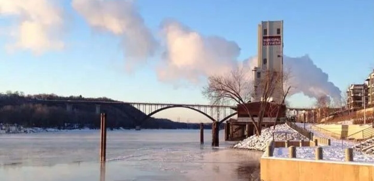
St. Paul, Stillwater Prepare for Floods With Drones, Emails
(TNS) – Here come the drones, and at least a handful of road closures, as well as email alerts, sandbags and sewer work, among other precautionary steps to prepare for possible spring flooding along the Mississippi and St. Croix rivers.
For St. Paul Public Works and the properties along aptly-named Water Street, rising Mississippi River water levels following sudden snowmelt are nothing new. Technology has provided new tools — like drones — to document damage and predict various scenarios.
A temporary road closure on Shepard Road on Friday morning allowed a St. Paul sewer team to go underground and work on valves, one small mitigation effort in an elaborate flood plan that includes state, county and federal partners. The capital city declared a procedural flood emergency on Wednesday, a presumptive step that empowers the city’s emergency management officials to mobilize resources quickly if the need arises.
That’s a big “if.” Twin Cities temperatures over the next few days are expected to climb from a high of 63 degrees on Saturday to 79 degrees on Wednesday, according to the National Weather Service, quickly dissolving accumulated snowfall upstream of river cities like St. Paul and Stillwater. In other words, expect a lot of water.
“The melt is really going to start happening in the next week,” said Lisa Hiebert, a spokesperson with St. Paul Public Works. “As the water level rises, we have very clear plans around our response and notifying the public.”
In early March, experts warned that what’s shaped up to be Minnesota’s third snowiest winter on record could make for heavy spring flooding. Given how gradual the snow melt has been to date, flooding forecasts around a possible April 14 crest are now iffier for St. Paul, and some St. Paul-area property owners are less concerned.
“We just kind of roll with the punches,” said Sue Doyscher, manager of the Lilydale Pool and Yacht Club on Lilydale Road, with a laugh on Friday. “We have people keeping an eye on it, and we hope for the best.”
Stillwater braces for 89 feet, or two feet above flood stage
The tension runs higher these days in Stillwater, where the St. Croix River was recorded at 77.85 feet on Friday; flood stage is 87 feet. The city recently recruited volunteers to fill 35,000 sandbags for a 3- to 6-foot-high berm that will be 20 feet wide and a half-mile long, fortified with concrete jersey barriers and loose sand covered with polyethylene sheeting.
The St. Croix is currently forecast by the National Weather Service to reach 83 feet on April 14.
“That’s far from a crest,” said Shawn Sanders, Public Works director for the city of Stillwater, on Friday. Compared to the Mississippi River, “they’re not going to crest at the same time. Generally, St. Croix’s comes after St. Paul’s. I don’t know when it’s going to happen, but it’s not going to be mid-April.”
That’s one reason why there’s an 80% chance of the St. Croix reaching as high as 89 feet, or two feet above flood stage, Sanders said. Stillwater will begin pumping water over the berm if and when the St. Croix reaches 85 feet.
Mississippi River forecast to crest at 9.6 feet
In Lilydale, the Lilydale Pool and Yacht Club doesn’t usually put out its dock until sometime in May, so a mid-April crest on the Mississippi River would be at most a messy bother rather than cause for alarm. “Once it hits the road, we have to close,” Doyscher said. “It can flood our basement and it can flood our pool, and then there’s clean-up.”
The likelihood of that happening is about 50/50. The Mississippi River at Robert Street in downtown St. Paul has been holding fairly steady this week at 5 feet through Friday morning, according to data provided by the National Oceanic and Atmospheric Administration, or NOAA, and posted to StPaul.gov/flooding.
Forecasts currently point to a crest at 9.6 feet on April 14, which is four inches below the stage where St. Paul typically starts readying road closures and other flood mitigation measures, but heavy melt this weekend could roil those expectations.
Water begins lapping Water Street around 13 feet. Official minor flood stage is 14 feet, moderate flood stage is 15 feet and major flooding happens at 17 feet.
“We started our flood preparation about a month ago,” said Kristina Cummings, general manager of the St. Paul Yacht Club on Water Street. “We don’t have that much action that we need to take until we surpass moderate flood stage heading into major flood stage. I don’t anticipate that to happen.”
‘The next seven days will be telling’
That said, said Cummings, “the next seven days will be telling. We’ve had two or three weeks where it was warm enough to lose snow, but not dramatically. I love it. It’s caused a lot of potholes; I’m not disagreeing. But one good thing is it hasn’t caused flooding.”
In both 2014 and 2019, the Mississippi River in downtown St. Paul surpassed 20 feet. The highest crest ever recorded there was 26.01 feet on April 16, 1965.
Working closely with Ramsey County, the Metropolitan Council and other partners, St. Paul Public Works is sending up drones along the Mississippi River for before-and-after shots, which will be helpful in seeking federal reimbursement down the line when and if a federal emergency is declared. Washington County also is sending out a drone in Stillwater.
“It’s documentation damage, and it helps with future flood prep,” Sanders said.
Between 10 feet, St. Paul’s “action stage,” and 13 feet, St. Paul closes Water Street from the St. Paul Marina to the Lilydale Pool and Yacht Club. River levels aren’t the only factor in determining when and whether to close a road. “It’s also about how quickly the water is going to rise,” Hiebert said.
©2023 MediaNews Group, Inc. Visit at twincities.com. Distributed by Tribune Content Agency, LLC.


Average Rating