Western Fire Chiefs Unveil Advanced Wildfire Mapping Tool
During a wildfire, residents are often panicked about where the fire is, where it is going and how it might impact their homes.
The Western Fire Chiefs Association (WFCA) is working to provide some relief and just released Phase II of its Wildland Fire Map, which incorporates live aircraft tracking, 3D fire map rendering and the Fire Integrated Real-Time Intelligence System (FIRIS), specific to California. Residents can save the active map on their phones.
Phase I was released to the public and news media in July and provided near real-time access to information about the paths of active wildfires. The WFCA map collects data from the U.S. Forest Service and 911 dispatch data using PulsePoint to track the locations of wildfires when they start and while they’re burning.
Phase II adds the additional layers of 3D and FIRIS to help citizens answer those three important questions: Where is the fire, how big is it and where is it going?
The answers to those questions can be life saving for citizens but are also valuable to firefighters. “Those are the same things that firefighters want to know,” said Brian Fennessy, fire chief of the Orange County, Calif., Fire Authority.
FIRIS is composed of fixed-wing aircraft loaded with sensors that provide real-time perimeter mapping, real-time fire spread modeling through the supercomputer in San Diego, and both infrared and high-definition color video.
Wildfires are at their most dangerous when they start, and this tool will speed the process of getting information out to the public in a more accurate, detailed manner with a visual component.
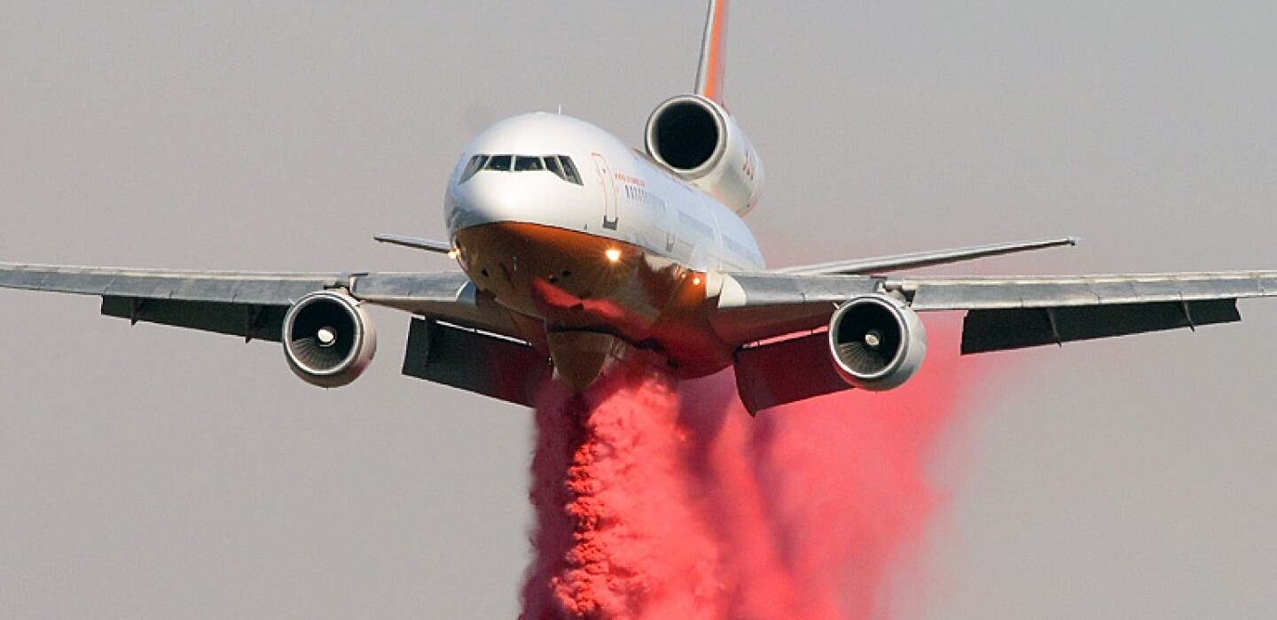
The WFCA calls it the “first of its kind” to integrate real-time flight mapping of fire-fighting aircraft. That is, the user can track firefighting aircraft on a map, along with aircraft type, speed, altitude and recent path, indicating where firefighting activity is happening.
“This information will significantly impact the speed in which we can get information out to the public and will also provide a more detailed and richer level of visual communications to communities at risk,” WFCA Deputy Director Brent VanKeulen said in a press release.
The 3D modeling gives an excellent picture of the terrain and topography of where the fire is and the video gives a vivid picture of what the fire is doing.
“As firefighters, we have tools to show us that, but as a citizen you might be in danger or someone who lives across country and has family in danger can get a very good idea in real time where the fire is and what it’s doing,” Fennessy said.
The WFCA did some analytics and found that when people see smoke they begin searching online for information on the fire, and the search will lead them to this mapping system, which they can then save to their favorites.
“What we like about both Phase I and Phase II is the simplicity,” Fennessy said. “It’s easy to access. If I need a username and password, I’m not going to use it.”

Average Rating