Storm Pummels Hudson Valley, Causing Flooding, Power Outages
Read Time:3 Minute, 4 Second
(TNS) — A powerful storm that’s drenched the East Coast is threatening to cause flash flooding across much of the lower Hudson Valley.
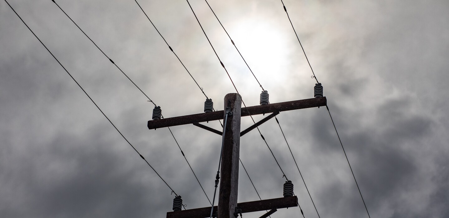
The storm has left thousands of homes and businesses without power in the lower Hudson Valley.
The storm that moved in Sunday could drop more than 4 inches of rain on parts of Westchester, Rockland, Orange, Putman and Ulster counties. Flooding was causing travel problems on the Saw Mill Parkway in Westchester County. Flooding had been reported on both sides of the Thruway between Exit 16 in Harriman and Exit 17 in the Newburgh area.
Flooding is expected to hit portions of the Capital Region too.
Rainfall totals are expected to be between 1 to 3 inches around Albany, Schenectady and Troy with higher amounts possible in the Catskills, said Christina Speciale, a meteorologist with the National Weather Service in Albany.
The National Weather Service in Albany predicts urban areas and small streams to flood “across portions of Albany, Columbia, Dutchess, Greene, Rensselaer and Ulster counties.”
One New York State Mesonet station in Tannersville had recorded 4.3 inches of rain before 8 a.m. Monday with that amount expected to rise as the storm lingers over the area through the early afternoon, Speciale said.
Minor flooding is also expected in low-lying areas and locations with poor drainage.
While the weather service predicts stream flooding will be minor, its meteorologists are reporting the possibility of moderate flooding to the Schoharie Creek in Gilboa. The Rondout Creek in Rosendale could also experience moderate flooding. Portions of the Hudson River in Albany and the Mohawk River in Schenectady and Cohoes could approach flood stage.
Rivers and streams could continue to swell after the rain has stopped falling, cresting by this evening, Speciale said.
Flash flooding was not a concern, Speciale said, because of the moderate severity of the rain and the longer duration of the storm.
Drivers should be cautious when they hit the road for Monday’s commute, though there had been few reports of road closures and washouts for the morning commute, Speciale said.
So far, the weather has had little impact on the start of school. Only one district was delaying the start of classes by two hours.
The rain is part of a massive coastal storm that will likely bring powerful wind and flooding to portions of the Eastern Seaboard.
New York City and its surrounding suburbs were appearing to suffer the worst of the storm Monday morning. Thousands were without power across the city as well as flooding on roads and high winds on bridges according to the New York City Office of Emergency Management. A travel advisory was also in effect.
At points, rain was expected to fall at a pace of a half inch an hour.
The storm is expected to move out of the area by late Monday afternoon, but a flood watch is in effect until early Tuesday morning.
The storm is bringing rain — and not snow — because of unseasonably warm temperatures. Monday will see temperatures into the high 50s.
Temperatures are expected to drop Monday night and a minor storm bringing snow showers is expected Tuesday.
That system is not expected to be particularly disruptive.
“Today is really the high-impact day of the week,” Speciale said.
©2023 the Times Union (Albany, N.Y.) Distributed by Tribune Content Agency, LLC.
Happy
0 %
Sad
0 %
Excited
0 %
Sleepy
0 %
Angry
0 %
Surprise
0 %


Average Rating