Verizon Frontline to Gather and Share UAS Data With NOAA
Read Time:2 Minute, 52 Second
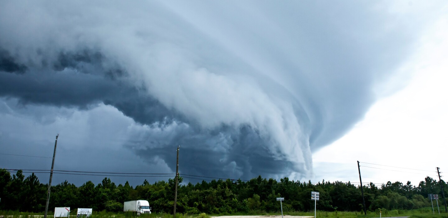
The National Oceanic and Atmospheric Administration (NOAA) is tasked with forecasting future storms to alert the public and provide information to emergency management personnel so they can keep communities safe.
But NOAA is only as good as the data it has, and that part of the equation just got easier with a partnership with Verizon Frontline, which will use its capacity to fly uncrewed aircraft systems (UAS), also known as drones, to gather data and use its network to get it to NOAA quickly.
According to Erik Rasmussen, NOAA research scientist and chief of field observing facilities support in Norman, Okla., NOAA needs UAS storm damage footage to improve its knowledge in several areas.
“Wind speeds and patterns in tornadoes at the ground are not well understood,” Rasmussen wrote in an email to Emergency Management. “Since tornadoes often travel across rural areas that are inaccessible or poorly surveyed, the UAS imagery can be very beneficial. Where tornadoes do impact structures, the UAS imagery can be useful to augment NOAA damage surveys.”
After a tornado outbreak, Verizon Frontline can get their aircraft up and flying and provide photogrammetry, or maps based on aerial imagery, in hours rather than days, unlike with the satellite imagery that NOAA is used to getting.
Plus, the UASs remove the challenges of collecting data in remote areas.
“Drone imagery can overcome those challenges, but not every NOAA office has a drone,” said Tim Oram, National Weather Service region headquarters meteorological services branch chief in Forth Worth, Texas. “This project will demonstrate potential future drone imagery partnerships that can enable us to provide more timely damage assessments and conduct our surveys more efficiently.”
The Cooperative Research and Development Agreement was a natural, as Verizon has more than 200 drone pilots on its crisis response team and more than half of them are search and rescue pilots.
“We’re already doing search and rescue and doing mapping and data dissemination and that will help [NOAA] develop long-term plans around what impacting weather can do and how we can mitigate that,” said Earl Struble, associate director of Verizon Frontline Crisis Response Team.
“They’re looking for that photogrammetry at a level of detail that they can’t get today,” Struble said of NOAA. “The problem has been historically when they wanted to capture that data they would have to use what existed from Google Earth, which is grainy, the resolution is not there.”
They fly two different kinds of aircraft, fixed wing and rotary wing. Fixed wing can stay aloft a lot longer and take more photographs; the rotary wing are used for longer-term mapping.
“In the simplest terms, it’s going assist with severe storm damage assessment using that mapping and photogrammetry, and provide that data further on down the line to NOAA’s severe storms laboratory so they can work on early warning signs for tornadoes and hurricanes,” said Chris Sanders of the Verizon Frontline Crisis Response Team.
The imagery will be key to helping NOAA understand what might be happening on the ground when it sees evidence of a tornado in radar data.
Happy
0 %
Sad
0 %
Excited
0 %
Sleepy
0 %
Angry
0 %
Surprise
0 %


Average Rating